
Plainfield Neighbors by Public Source
A block lookup works best when each source is held to its proper scope. Town and county Beacon show map geometry and parcels. The Treasurer tax list can return a parcel-facing name and address when each property is searched. Town agendas document public business. Library holdings can show former households. Association pages speak only for their own communities.
| Source | Block detail supplied | Access route |
|---|---|---|
| Town or County Beacon | Adjacent parcels, streets, layers, identify tools | Public viewer; local controls not fully captured |
| Hendricks tax list | Parcel, assessed name, tax year, property address | Individual address search; no block export confirmed |
| Doxpop Recorder | Recorded parties and instruments tied to legal descriptions | Party index; image access and fees vary |
| Voter records | Lawfully available county registration records with redactions | Individual tools or certified VRG-24 request |
| Town agendas and plans | Public action on a street, subdivision, plan, or district | Date, category, term, minutes, attachments |
| Library maps and directories | Dated names, addresses, footprints, local context | Collection-specific online or Indiana Room access |
| Association sites | Public contacts, covenants, board news, community material | Public pages only; private rosters excluded |
An assessed owner may live elsewhere. An occupant may not appear on the parcel card. A recorded party may have signed one document years ago. These distinctions keep a search for your neighbors from overstating what any official record proves.
Map the Plainfield Block Outward
The Town of Plainfield Beacon and Hendricks County Beacon are the starting points for parcel context. Research did not expose an exact adjacent-parcel click sequence or a verified radius export, so use visible map identification tools conservatively and document the controls actually shown.
- Normalize the starting address, then match it to the Town or county parcel view.
- Record the parcel or State ID and confirm that the geometry surrounds the expected structure.
- Move to each parcel that visibly touches or faces the starting parcel. Search those addresses one at a time.
- Use the tax list or recorder only when an assessed owner or recorded instrument answers the question.
- Stop at the immediate block. Use the Plainfield street directory for a full named-street chain.
This flow is address to parcel, parcel to nearby geometry, and geometry to the proper custodian. It is not address to a guessed list of households. No official Plainfield street-wide or block-wide resident export was found.
Plainfield Neighborhood Sources and Limits
Plainfield has several association sites, but the research found no Town-published umbrella directory and no basis for treating the known set as complete. Each association is the primary source for its own public covenants, contacts, notices, and boundaries. A mailing address or site title is not enough to prove that every parcel lies inside the Town.
Hickory Woods HOA
Public newsletter, contact, and covenant-oriented material. No public household roster was located.
Timber Bend
Public location and community material. Its member directory is restricted to residents, and its site describes geography between Avon and Plainfield.
Hawthorne Ridge
Public contacts, covenants, minutes, and neighborhood information. No public household list was found.
Fairfield Woods
The association reports 141 single-family homes and offers public community resources, but no open member list was located.
Williamsburg in the Woods also publishes contact, board, and membership material without an open household roster. These sources help identify a community's own rules and public contacts. They do not supply a county-wide list of Plainfield neighbors.
The successful manifest image from Hickory Woods HOA shows the kind of association-level public surface available.
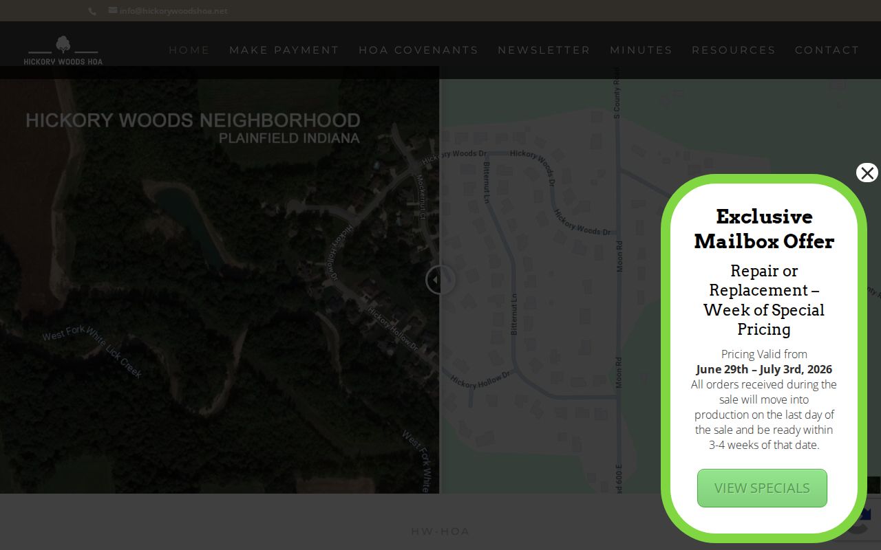
The capture belongs beside the association inventory because it supports public community context, not access to private member information.
Plainfield Neighbors in Civic Records
The Town Community Engagement page names civic partners and participation routes, including the Chamber, Main Street, Hendricks Live!, Youth Assistance, Kiwanis, Rotary, and Citizens Academy. These are public ways to understand community activity. They are not residential directories.
The manifest capture below preserves that Town page.
The public partner list can lead to meetings, programs, and institutional contacts while keeping household identities out of the search.
Plainfield's Boards and Commissions page adds the formal civic layer. Boards create agendas, minutes, recommendations, and hearing records that can place a block issue in municipal context.
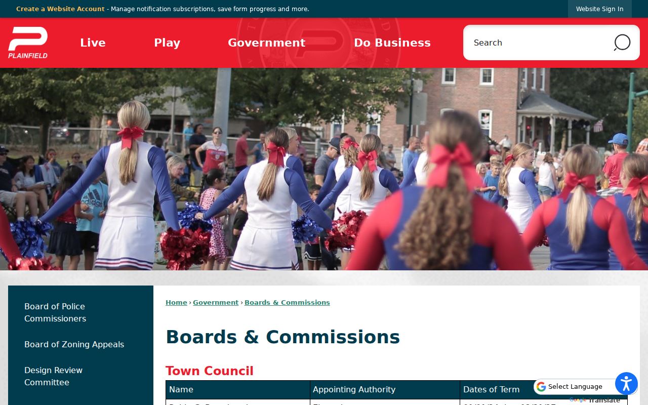
This image connects nearby parcels with the official bodies that consider plans and public matters. It does not establish where any board member lives.
Note: A civic partner or board record shows public participation, not membership in a household on the block.
Plainfield Plans Are Not Rosters
The Carter's Neighborhood Plan, adopted in 2010, is a useful planning record recorded through the Town and Recorder. It can define a study area, document goals, and point to parcels or public action. It cannot be cited as proof of a current neighborhood association or a list of present Plainfield neighbors.
The Agenda Center lets a researcher search by date range, term, and category, then open minutes and attachments for streets, parcels, subdivisions, zoning, and plans. This is often the best route for discovering when a local concern became Town business.
A plan boundary, HOA boundary, postal city, Census area, and parcel line can all describe the same place differently. Label each geometry by its source and date.
Reconstruct Historic Plainfield Neighbors
Current parcel systems cannot show who occupied a block decades ago. The Plainfield Library genealogy collections provide the dated layer: 1868 and 1885 business directories, Robinson directory runs, the 1955 adult-male census, the Plainfield Messenger from 1960 through 1979, obituary material, yearbooks, cemetery indexes, and local maps.
Each source says something different. A directory can place a listed name at an address in its publication year. A historical map can show a building footprint. A newspaper can connect a parcel with an event. The Indiana Room's vertical-file index includes the Plainfield Old Village Neighborhood Association and Plainfield Memories Project, but no current Old Village roster was located.
The 1858 Western Yearly Meeting of Friends offers another Plainfield research anchor. Maps, vertical files, cemetery records, school sources, and institution history can reconstruct a community around the meeting without turning religious affiliation into an assumed list of residents.
Note: Historical neighbors should always be labeled with the source date, since a directory entry never proves continuous residence.
Plainfield Neighbor Voter Boundaries
Indiana Voters supports individual status, polling place, and ballot functions. It is not an open block-level neighbor directory. Requests for county voter data use State Form VRG-24 and require a certified statement of use. The 2026 voter guide explains redactions, confidentiality, and record handling.
Hendricks County Voter Registration is the local custodian at 355 S Washington St, Suite 120, in Danville, with weekday hours of 8 a.m. to 4 p.m. Public access remains subject to the state rules. Address Confidentiality Program participants and other protected records must not be exposed.
Practical limit. A voter record shows registration information within its legal scope; it is not proof of every person who currently shares an address.
Official Plainfield Records Versus Tools
Commercial neighbor tools often blend old addresses, marketing data, and inferred relationships. Official sources are narrower, but their fields have a named custodian and a clear purpose. Neither category should be treated as a live account of everyone on a block.
| Source type | Strength | Key limit |
|---|---|---|
| Official parcel and tax records | Parcel identity, assessed interest, dated public fields | Owner is not the same as occupant |
| Official plans and agendas | Public decisions and mapped study areas | No household membership |
| Association public pages | Own documents, contacts, covenants, news | Not complete and private rosters stay closed |
| Commercial neighbor tools | May combine broad public and marketing clues | Unknown update dates and inferred links |
For Plainfield neighbors, the defensible record is the smallest claim the source supports: this parcel touches that parcel, this plan includes this block, or this public association page covers this community.
Privacy for Plainfield Neighbor Lookups
The Indiana Address Confidentiality Program provides a substitute-address structure for eligible participants through trained advocates. Indiana law also allows restrictions on property-database information for certain officials. These safeguards mean a missing or shielded address must remain missing.
Utility customer names and delivery records were not located as public Plainfield sources. Do not infer them from a parcel map. A lawful neighbor lookup serves modest personal aims, such as understanding a public block issue, reconnecting through appropriate channels, or researching local history.
Lawful use. Respect private rosters and protected addresses, verify claims with custodians, and never use neighbor records to watch, threaten, stalk, or harass anyone.