
Plainfield Address History by Era
Previous residents of a Plainfield address appear in sources built for different tasks. Start with the era and the type of fact needed. Deeds show recorded transfers. Property cards preserve assessment continuity. Directories and census records can place named people at an address on a date. Maps show the building and street context. Town permits and plans can explain later physical change.
| Source | Years located | Plainfield-area keeper | Evidence supplied |
|---|---|---|---|
| Recorder and Doxpop | January 1977 or later per the cited announcement | Hendricks Recorder, Doxpop, courthouse | Indexed parties, instruments, legal descriptions, and image routes |
| Plainfield property cards | 1941-1956 | Hendricks County archive | Historical assessment and parcel continuity |
| Transfer cards | Yellow 1941-1972; blue 1989-2004 | Hendricks County archive | Dated transfer and property references |
| City directories | Visible runs from 1870-1990, with gaps | Plainfield Library and Indiana State Library | Dated name-to-address and address-to-name clues |
| Federal census | Public through 1950 | NARA, Census, library databases | A dated household or individual snapshot |
| Sanborn maps | General collection spans the 1880s to mid-1950s | State Library and local map holdings | Building footprint, stories, use, block, lot, and street context |
For a recent chain, begin with Beacon and the Recorder. For the middle decades, bridge deeds to transfer cards and directories. For an early parcel, move to archive plat books, land-entry material, Recorder access, maps, and local-history collections. Never force a gap into a guessed name.
Plainfield Prior Owners Need Dates
The former Hendricks Parcel Search had an "Include prior owners" option, but it was retired on January 15, 2022. It remains a useful field-behavior lesson, not a current authority. Old instructions accepted partial names, address fragments, city, Tax ID, and State ID. They also suggested dropping a direction or suffix when an address failed.
See the retired Hendricks prior-owner search captured for Plainfield.
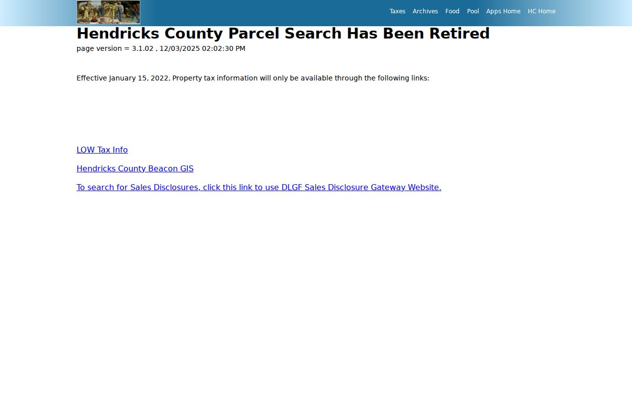
The old screen explains why researchers still encounter stale links. Confirm present parcel data in Beacon or through the Assessor, then use Recorder and archive sources for the backward trail.
Note: A prior-owner field concerns a parcel record and must not be described as a list of former occupants.
Trace Hendricks Deeds Backward
The Hendricks deed chain begins with a verified parcel. Pull the current parcel, State ID, legal description, subdivision or lot text, and map date from the Assessor or Beacon. Then search the Recorder's Doxpop index for the likely purchase instrument. Doxpop is keyed to party names, not a house number alone.
Visible Doxpop controls include Search By, required Party Name, Super Search, Search Region, and Search. An older county announcement says Hendricks filings begin in January 1977 or later. Confirm continuity and copy access with the Recorder before treating that date as a hard present cutoff.
- Resolve today's Plainfield address and save the parcel identifiers and legal description.
- Find the likely current purchase instrument by party name and compare its parcel text.
- Take the seller, or grantor, and search for the instrument where that party earlier acquired the land.
- Repeat while checking dates, releases, easements, plats, and parcel splits or combinations.
- For missing or older links, ask the Recorder about courthouse books, copies, certification, and pre-online access.
- Grantor and grantee
- The grantor transfers an interest; the grantee receives it in the recorded instrument.
- Chain of title
- The linked sequence of recorded transfers for the same land.
- Legal description
- Parcel language based on lots, subdivisions, or survey calls that can outlast a street-number change.
Plainfield Property Cards Bridge Gaps
The county archive is central to Plainfield house-history research. Its Plainfield property-card index identifies Drawer 1 scans for 1941 through 1956. Yellow transfer cards span 1941 through 1972, while blue cards span 1989 through 2004. These are series dates, not a promise that each parcel has an unbroken card run.
Open the historic property-card archive shown here.
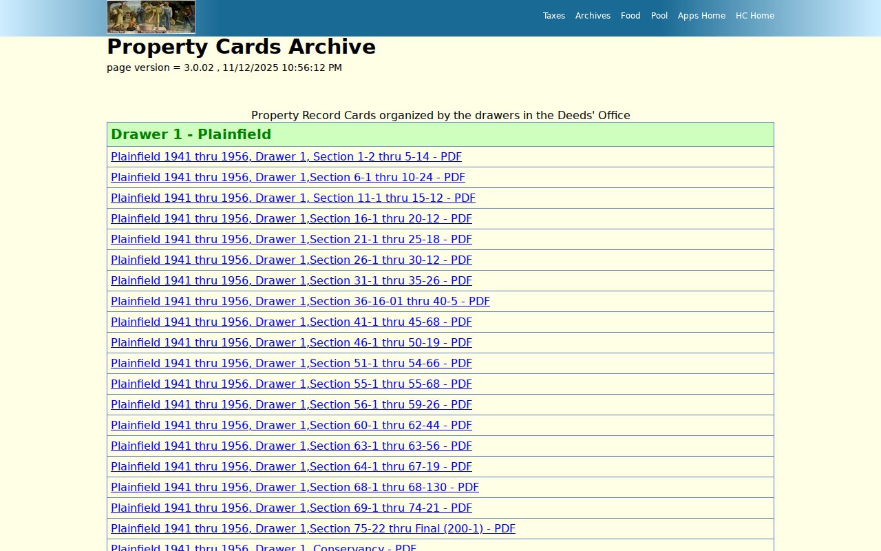
Compare a card's parcel clues, address form, and date with deeds and directories. A card helps establish continuity, but its named party is not automatic proof of who occupied the home.
Pair Plainfield Directories and Census
Owners are only one layer. Plainfield directory runs and public census pages can identify dated households. The visible library and State Library runs stretch from 1870 through 1990 with gaps. Under the federal 72-year rule, the 1950 census is the latest public decennial census as of the research date; the 1960 release is scheduled for April 2032.
Use a short process flow: exact address and variant street form, then the closest directory year, then the nearest public census year, then a newspaper, obituary, cemetery, school, or probate source. Compare every spelling and age before deciding two records concern the same person.
- Search a directory by address when a reverse section exists, and save the volume year and page.
- Search the nearest open census by name and place, then confirm the household and street context.
- Check the next directory year to see whether the name remains, changes, or vanishes.
- Use obituaries, cemetery entries, probate, or newspapers to explain a move, death, or family link.
The Plainfield directory book page covers the collections themselves. Here, each volume is used only as one link in an address timeline.
Plainfield Maps Date Physical Change
Sanborn maps and aerials can show what changed between two resident records. The State Library's general Sanborn collection spans the 1880s through the mid-1950s, though the exact Plainfield sheet set was not verified. The library map inventory includes examples such as a 1969 Plainfield aerial, a 1970 Valley View Apartments map, and 1992 Plainfield and Guilford Township aerials.
A map may reveal a footprint, story count, use, street, block, lot, road, or planning boundary. It cannot name every person inside. Capture scale, source, date, and the kind of feature shown. Then pair that physical evidence with a directory, deed, property card, or newspaper.
Plainfield Main Street Drifts
The historic district study describes an 1831 eight-block, 64-lot layout and a first lot sale in May 1833. The National Road was surveyed in 1827 and built in 1830 before it became Main Street. This geography makes the old road a strong test of address drift.
Compare current USPS text with old directories, deeds, plats, maps, and newspapers. Look for a street form, number, suffix, or building-use change. No official Plainfield renumbering year was found, so prove each change from dated records rather than repeating a broad claim.
Note: Plainfield surrendered its first charter in the 1850s and reincorporated in 1904, which can change which government series applies.
Plainfield Archives Preserve Address Trails
The Plainfield historical archive gives another access route for local scans and indexes.
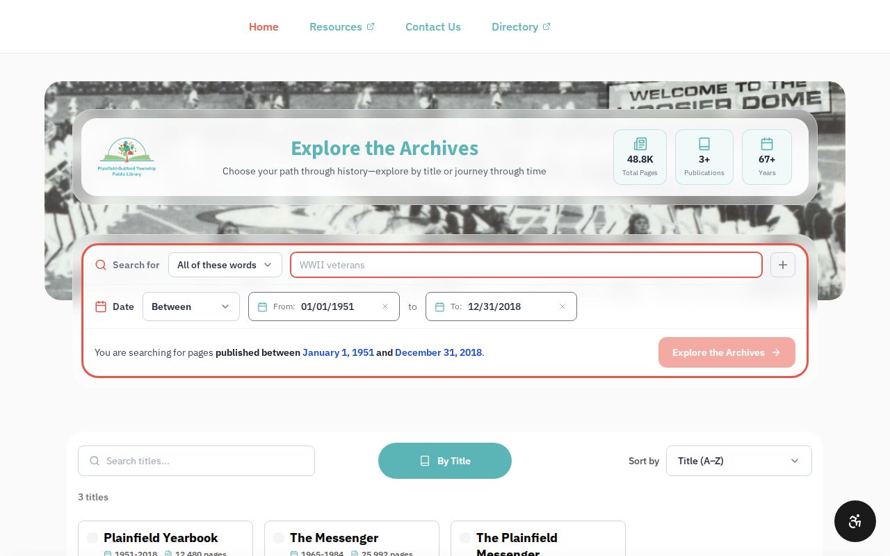
The archive view helps locate dated material without implying that every scan is complete. Record the collection name, box or volume, page, image URL, and access date.
The county archive reaches into early land, court, marriage, tax, school, and map series. When a scan fails, cite the official index metadata and mark the page gap. Do not invent the missing contents.
Plainfield Records Survived by Care
A 1971 Plainfield Library newsletter reported that the Hendricks County Records Commission inspected courthouse-basement material, secured funds to identify it, and received a favorable assessment from a state historian. That preservation effort helps explain the depth of today's archive. It does not prove a courthouse-fire story, and no official source for such a fire was located.
For past residents, provenance matters. Label an item as an original, certified copy, scan, index, transcription, microfilm image, newspaper clipping, or later summary. A scan can preserve a name while still omitting pages. The safest address history states what the record says and how confident the link is.
Hendricks Collections Extend Plainfield Trails
The Hendricks County Museum is a local historical collection route, though its specific holdings were not fully inspected in the research session.

The capture identifies a possible next stop when library and county records leave a gap. Ask staff for a catalog reference before stating that a named file exists.
Confirm Plainfield Past Households
Directories, census schedules, obituaries, cemetery files, and probate records can add people to the property chain. Each has a limit. A directory is a dated publication. A census is an enumeration snapshot. An obituary is often family supplied. Probate may connect heirs and estate property, but MyCase can omit old or confidential material, so the Clerk or archive may be needed.
The Plainfield Library genealogy collection includes the 1955 adult-male census, Plainfield Messenger issues from 1960 through 1979, obituary tools, cemetery files, yearbooks, alumni indexes, and marriage applications. Those records can explain a household or community tie. Corroborate the name, address, date, and relationship before adding it to a previous residents timeline.
Write conclusions narrowly: "listed at this address in the 1962 directory" is sound when cited. "Lived there throughout the decade" is not supported by one entry. This method protects both accuracy and living people. Save a full citation so another researcher can check the same volume, page, record date, and archive route.
Lawful use. Plainfield previous residents research is suited to house history, genealogy, heir questions, and personal curiosity. Never use it to harass, track, or expose a living person.