
Walk a Plainfield Street Record
A Plainfield by-address search should begin with an exact address, not a broad list of names. USPS can standardize the delivery form. Hendricks County parcel systems then connect that string to a parcel or State ID. The map gives geographic context, the tax list supplies an assessment-facing row, and the Recorder index follows instruments tied to parties and legal descriptions. None is a live household roster. A voter record has its own access rules, and an old directory is only a dated clue.
Keep the unit, street suffix, direction, mailing city, and ZIP as separate facts. A Plainfield mailing address may fall beyond town zoning. The same site can also appear under a short street form in an older index. Work in this order:
- Normalize the full address with the official USPS lookup. Save both the supplied and returned forms.
- Search Hendricks Beacon or the Assessor route by address, then record the parcel and State ID.
- Open the map and check adjacent parcels, street labels, tax district, and any town zoning layer.
- Use the legal description and party names to search the Recorder's Doxpop index.
- For a dated household clue, consult library directories and then verify it in another source.
This sequence separates location, ownership, and occupancy. It also leaves a clear source trail when names or street forms change.
Plainfield Street Search Fields
The current routes do not share one search form. The Hendricks County Assessor page identifies name, address, and State ID as search concepts. The Treasurer exposes a fuller tax-list form. The former county parcel search remains useful only as a guide to variants because it was retired on January 15, 2022.
| Plainfield record route | Field or control | Use and limit |
|---|---|---|
| Assessor | Name, Address, State ID | Can lead to parcel data, Form 11, and a property record card; hidden live controls were not verified. |
| Treasurer | Parcel number, name, property address, city, tax year | Shows tax-facing rows; no visible ZIP filter. |
| Town Beacon | Address or Parcel/Tax ID | Map search with Planning > Zoning; a missing layer may mean the site is outside town limits. |
| Retired parcel search | Partial name, address, city, Tax ID, State ID | Old instructions support shortened address tests and prior-owner behavior, but the tool is not current. |
Hendricks State IDs begin with 32. If an address fails, omit the direction or suffix, search the street number with a short street fragment, and remove the unit to find the base parcel. Confirm any match in a live county route.
Note: A mailing address correction belongs with the Assessor, while a delivery-format question belongs with USPS.
Map Plainfield Streets in Beacon
The Town of Plainfield Beacon provides the street and parcel view needed to test location. Town instructions say an address or Parcel/Tax ID can start the search. Under Layers, the Planning and Zoning layer can show municipal context. If that layer is absent, the property may sit outside Town limits even when Plainfield appears in the mailing line.
The successful capture below shows the Town viewer used for a Plainfield parcel-map check. Open the source before relying on current controls.
View the Plainfield Beacon parcel map source.
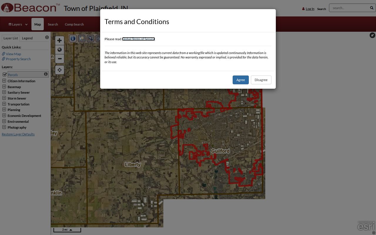
The map links the address to parcel geometry and nearby street labels, but it is not a deed and should not be used as proof of occupancy.
Plainfield Records Found by Address
Each Plainfield address system has a narrow job. The by-street record becomes more reliable when its rows are treated as separate evidence rather than merged into a claim about a household. Online access is only one channel. Recorder staff also handle telephone, mail, and courthouse requests, while the library and county archive cover older material.
| Address record | Plainfield-area keeper | What the source establishes | Access path |
|---|---|---|---|
| Parcel and assessment | Hendricks Assessor and Beacon | Parcel, map, State ID, assessment links | Web viewer, Assessor contact, property-record-card route |
| Tax list | Hendricks Treasurer | District, parcel, name, tax year, property address | Online list or Treasurer request |
| Recorded instruments | Hendricks Recorder | Indexed parties, instruments, and legal descriptions | Doxpop, telephone, mail, or Danville courthouse |
| Planning and permits | Town Development Services | Town-limit zoning, permit, plan, and agenda context | Town pages, permit portal, records request |
| Historical address sources | Plainfield Library and county archive | Dated names, maps, cards, and street context | Online indexes, Indiana Room, scans, microfilm, staff help |
The parcel number and legal description are the strongest bridges. Street text changes more easily. A tax-list name may be an owner or mailing contact, while a directory name reflects one dated publication. Keep those meanings apart.
Normalize a Plainfield Street Address
The USPS ZIP Code Lookup offers By Address, By City and State, and Cities by ZIP modes. Its address form requires the street, city, and state; company, unit, and ZIP can be optional. USPS warns that a returned address does not confirm a person or firm at that place.
Open the official USPS address lookup shown here.
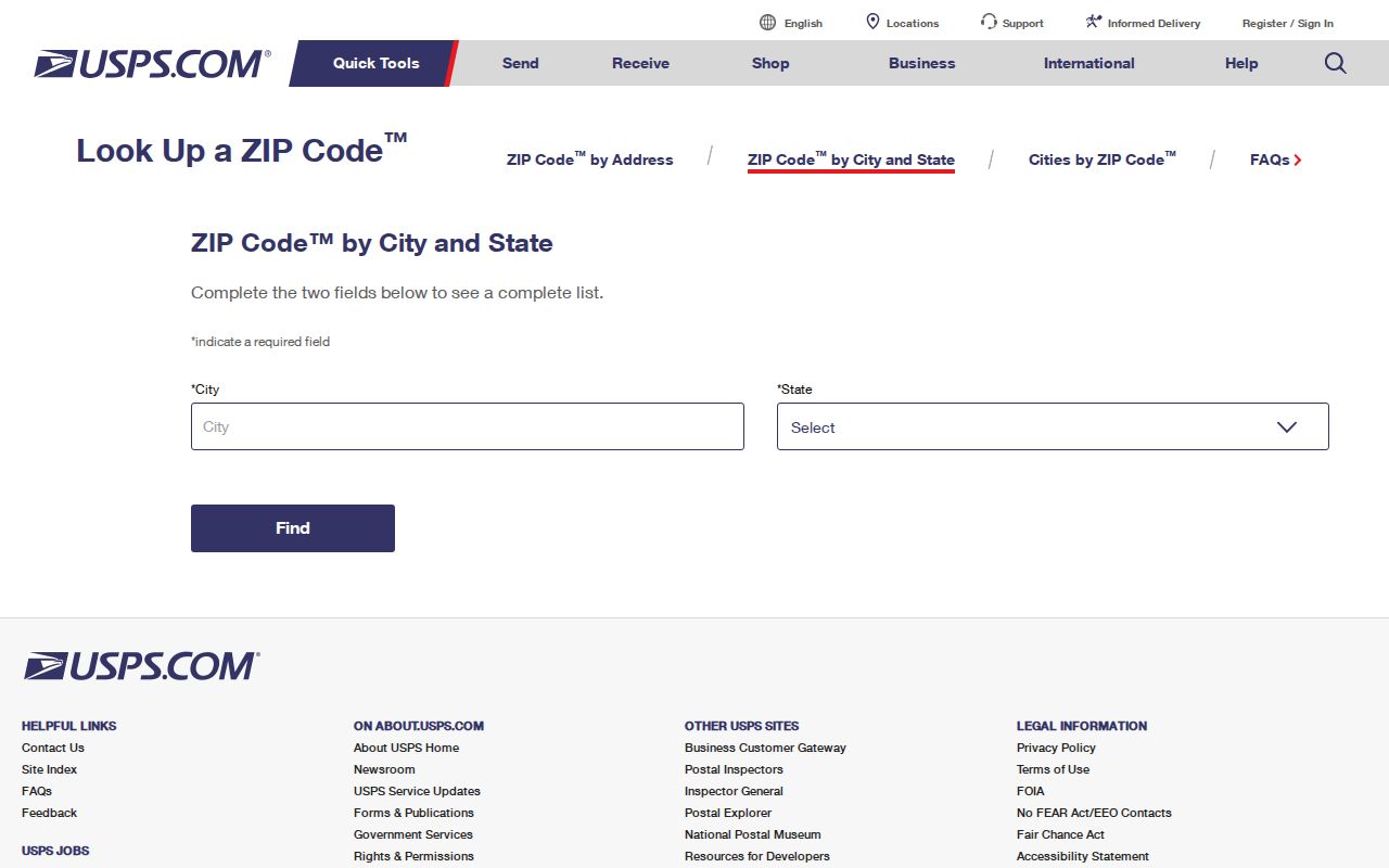
The postal result supplies a delivery form and ZIP test. Carry that result into Beacon, but keep the original address too in case an older record uses it.
Link Plainfield Streets to Deeds
The Hendricks Recorder keeps deeds, mortgages, releases, easements, liens, plats, and other instruments. Its Doxpop recorded-document route is a party-name index, not an address directory. Visible controls include Search By, required Party Name, Super Search, Search Region, and Search. A county announcement described records from January 1977 forward, though current continuity should be checked with the Recorder.
Start with the party and legal-description text from a parcel record. Then compare recording dates, subdivision and lot phrases, releases, easements, and splits. If an online image or older link is missing, contact the Recorder at 355 S Washington St in Danville by phone, mail, or at the counter. A certified copy must come from the custodian.
- Parcel
- A county land unit used for assessment and mapping.
- Situs address
- The physical property address, which can differ from an owner's mailing address.
- Plat
- A recorded map that divides land into lots, blocks, streets, or easements.
- Criss-cross directory
- A directory arranged by address or street so a dated name can be found from a place.
Reach Plainfield Parcel Records
The successful Assessor capture points to the county's name, address, and State ID route. Check the Hendricks Assessor source before using its current links.
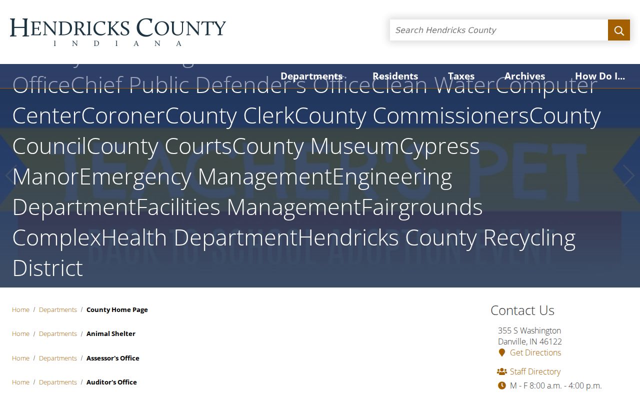
The Assessor result can lead to Form 11 and a property record card. It describes assessment data, not the full deed chain and not a confirmed household.
Plainfield Street Cards Span Decades
The county archive's Plainfield property-card index preserves Drawer 1 scans from 1941 through 1956. Yellow transfer cards cover 1941 through 1972, and blue cards cover 1989 through 2004. These ranges create a local bridge between a present parcel and old street evidence.
Use a card as a dated assessment record. Compare parcel identifiers, lot language, and street variants with the current map. Do not turn an old card name into a claim about a present resident. The archive also holds plat books from 1880 and several land and tax series, so a missing web result can often move to an older book or scan.
Note: The archive series have gaps, so record the drawer, card color, date span, scan link, and date viewed.
Plainfield Streets Hold Community History
The Plainfield Library genealogy collection turns a street into a dated community record. Its holdings include business directories from 1868 and 1885, a 1955 adult-male census, the Plainfield Messenger from 1960 through 1979, obituaries, cemetery files, and school yearbooks. These sources can connect an address to a household, school, church, firm, or local event at one point in time.
The full historical shelf belongs on the Plainfield directory book page. For a street search, use only the volume or index that matches the date in question. A directory entry is evidence of publication, not continuous residence. Pair it with a deed, property card, census page, newspaper, or map.
Read Plainfield Streets on Maps
The Indiana State Library Sanborn collection explains how fire-insurance maps can show footprints, stories, use, blocks, lots, and street context. Exact Plainfield sheets still need confirmation, so use the collection as a map route rather than claiming a complete local run.
See the Indiana Sanborn map collection captured for the Plainfield street search.
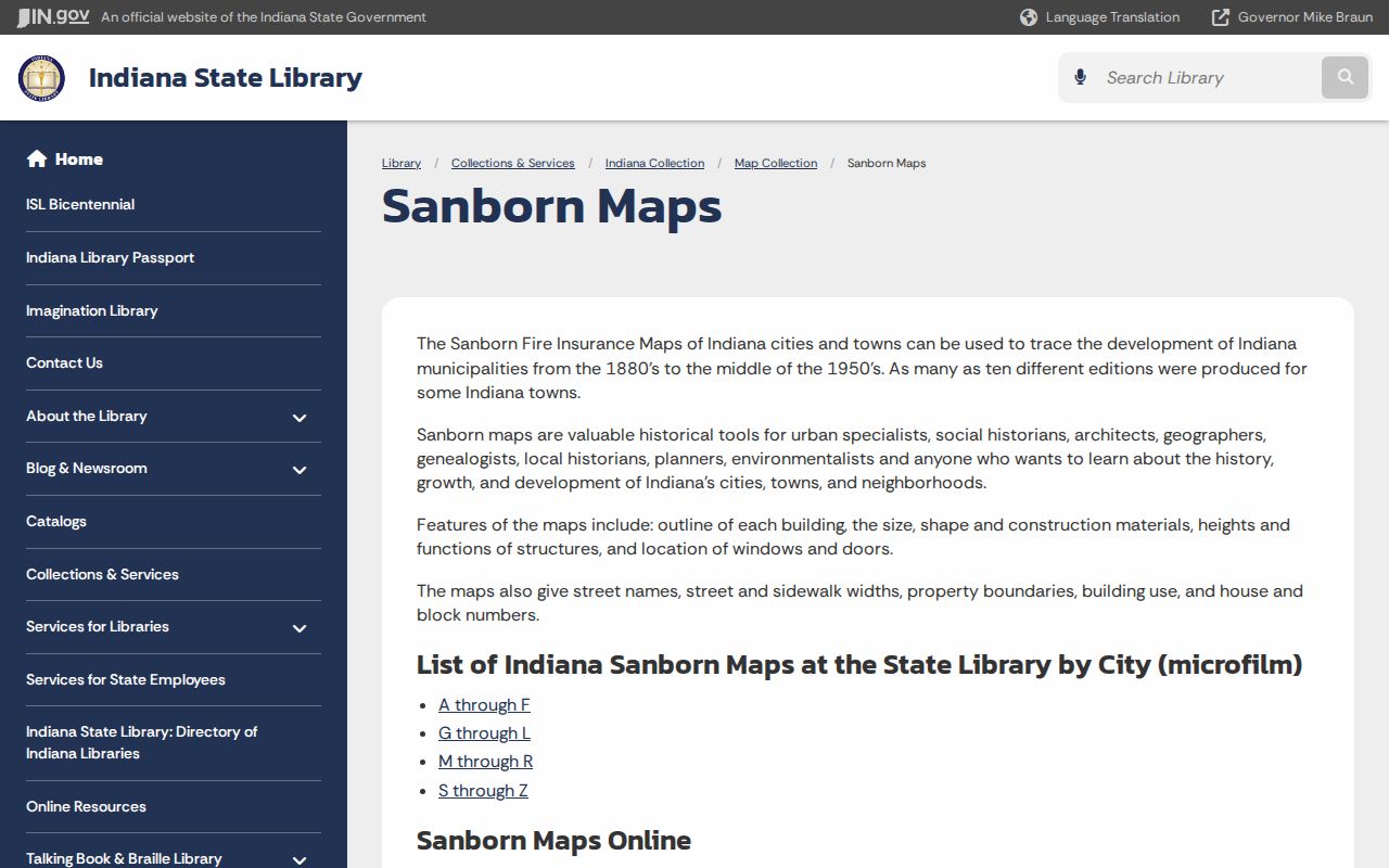
The map can date a building's form between resident records, but it does not name every occupant. Compare it with a directory or parcel source.
Plainfield Main Street Changed Context
The Plainfield historic district study describes an 1831 layout of eight blocks and 64 lots, with the first lot sale in May 1833. It also places the National Road survey in 1827 and construction in 1830 before that route became Main Street. Those facts make Main Street a strong geography interest section for a street directory.
Do not assume that a modern number, suffix, or building use existed in an old source. Test the current USPS string against deeds, plats, directories, maps, and newspapers. No official town-wide renumbering year was located, so any claimed number change must be shown source by source.
Open the State Library property-research guide used for this method.
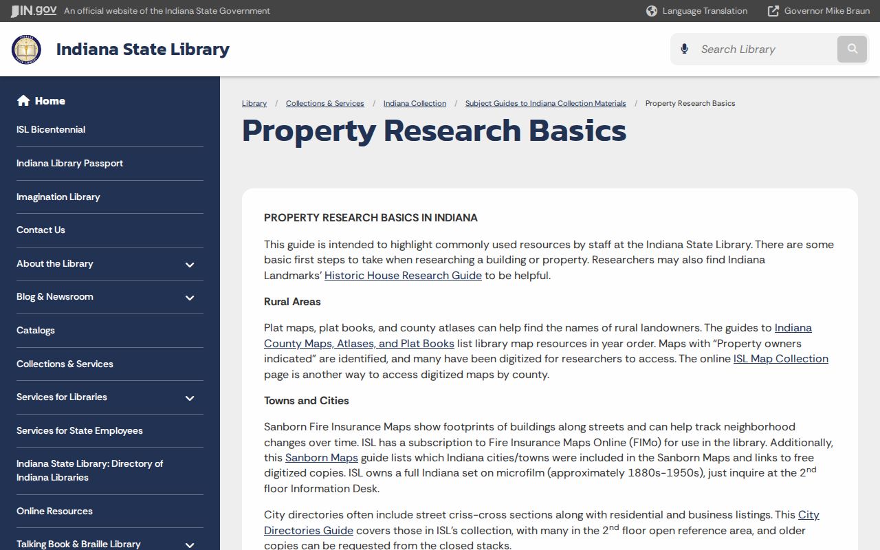
The guide connects directories, newspapers, and Sanborn maps, which helps explain address drift without inventing a renumbering event.
Plainfield Street Plans Add Context
The Town Agenda Center can be searched by term, date range, and category. Minutes and attachments may explain a street, parcel, subdivision, zoning case, or plan. Development Services limits municipal permit context to work inside Town limits, so first check the zoning layer.
Carter's Neighborhood Plan, adopted in 2010, is a municipal planning record. It is not proof of a current association or household roster. That distinction matters whenever a street name appears in a plan. Cite the plan date, attachment, and municipal purpose.
Town records can also show why a parcel was discussed, how a zoning question arose, or when road work entered public business. Search the exact street plus a subdivision or parcel term, and retain the meeting date. An agenda title alone may be too brief, so read the minutes and attachments before drawing a conclusion.
Plainfield Street Directory Limits
A Plainfield street directory cannot prove who is inside a home today. Parcel and tax records concern land and assessment. A deed proves a recorded instrument, not day-to-day possession. USPS confirms delivery formatting, not a person. No official utility-customer lookup or town-wide household list was found, and no verified Beacon street-wide export was documented.
Indiana voter data is also controlled. The public portal supports individual status and polling functions, while county computerized data requests use VRG-24 and include redaction and use rules. Address Confidentiality Program records and some protected public-official addresses must remain hidden. Do not try to defeat a redaction or infer a protected address from another source.
Lawful use. Plainfield address records are for lawful personal, family, property, and civic research. Never use them to stalk, harass, intimidate, or expose a protected person.