
Plainfield ZIP Coverage at a Glance
Official Census profile material identifies four five-digit ZIP Code Tabulation Areas, or ZCTAs, that are fully or partly within the Plainfield town profile. Only 46168 is anchored by the local Plainfield Post Office. The other entries are overlaps that require an exact-address test. A ZCTA is a Census approximation built for statistics, while a ZIP code is a Postal Service routing label. Neither one draws Plainfield's legal town line.
| ZIP or ZCTA | Plainfield connection | Postal reference | Safe conclusion |
|---|---|---|---|
| 46168 | Central Plainfield postal area | Plainfield Post Office | Verify each delivery address |
| 46113 | Partial Census overlap | Camby postal reference | Test the specific street |
| 46123 | Partial Census overlap | No Town-specific boundary located | Do not assume Plainfield |
| 46231 | Partial Census overlap | No exact local service line located | Confirm mailing city and parcel |
This coverage table is deliberately cautious. The research found no official ZIP split, realignment notice, or complete delivery boundary for Plainfield. It also found no proof that every address within town limits uses 46168. The useful unit is the address, not the shaded area on a broad map.
ZIP 46168 Anchors Plainfield Mail
The Plainfield Post Office listing places the local postal office at 700 N Carr Rd and gives the full station ZIP as 46168-9998. That station is strong evidence for the town's primary postal identity, but it does not publish the outer edge of every delivery route. A resident directory search should still validate a house number and street through the USPS address tool.
The successful manifest capture below preserves the official station page as a visual reference.
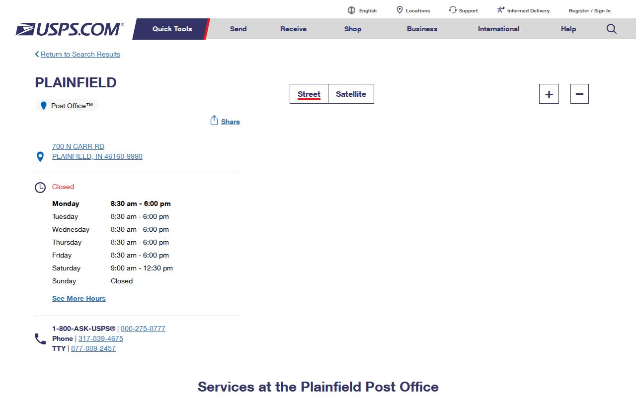
The image supports the station-level claim. It should not be read as a map of town limits or proof that a named person receives mail there.
The overlap at 46113 needs a separate test. The official USPS location reference for Camby supplies that postal anchor.
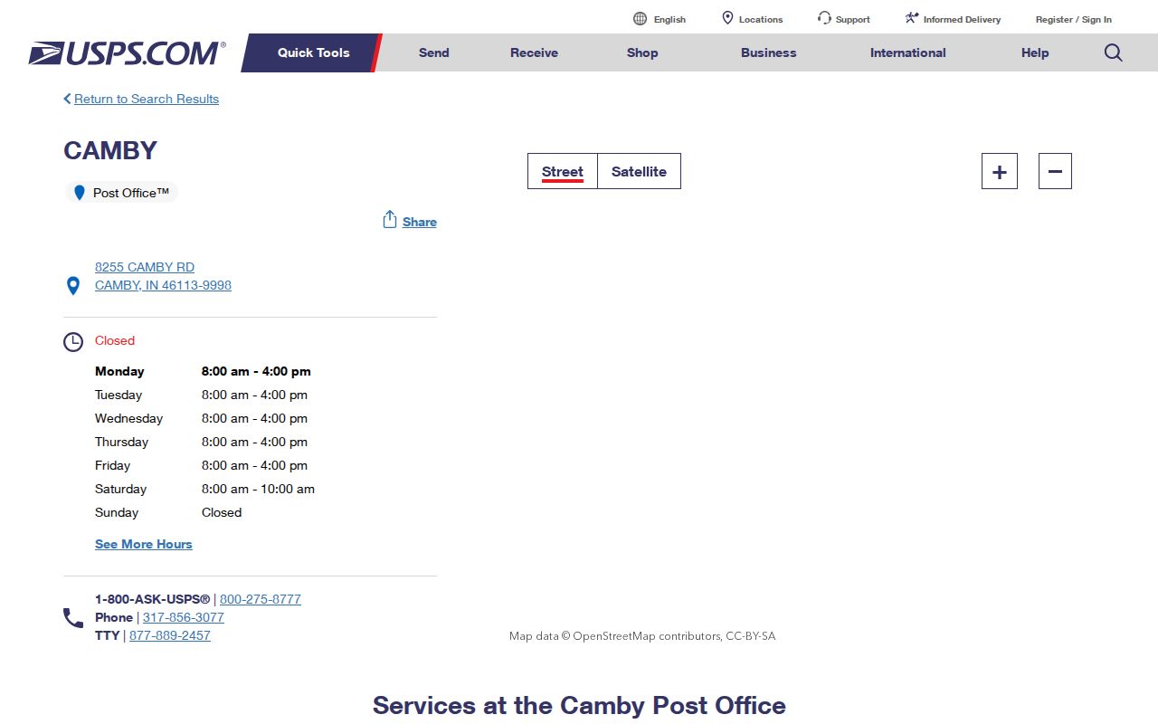
This second station image shows why 46113 should not be labeled Plainfield without checking the individual address and mailing city.
Note: Postal office identity and municipal jurisdiction are related geographic clues, but they are not the same legal boundary.
Plainfield ZIP Lookup Fields
The USPS ZIP Code Lookup has three distinct modes. Choose the one that matches what is known. By Address is the key mode for a resident search because it normalizes the delivery string. By City and State lists recognized combinations. Cities by ZIP works in reverse and returns recognized city names for a ZIP.
| USPS mode | Required input | Optional input | What it answers |
|---|---|---|---|
| By Address | Street, city, state | Company, unit, ZIP | Postal form for one address |
| By City/State | City and state | None documented | Recognized city and ZIP pairs |
| Cities by ZIP | Five-digit ZIP | None documented | Recognized city names |
USPS expressly warns that a result does not confirm a person or organization at an address. The Plainfield ZIP code directory therefore uses postal output as an address-quality check, then turns to the proper custodian for the record being sought.
Four Plainfield ZCTAs, One Local Office
This is Plainfield's key geography finding. The Census town profile overlaps 46113, 46123, 46168, and 46231, yet the verified Plainfield postal station centers on 46168. The mismatch is not an error. Census geography, mail routing, town limits, and county parcel geometry are built for separate public tasks.
The USPS AIS Viewer supplies professional address-quality and monthly update material rather than a resident list. Its successful image capture shows why an authoritative postal tool can still have a narrow role.
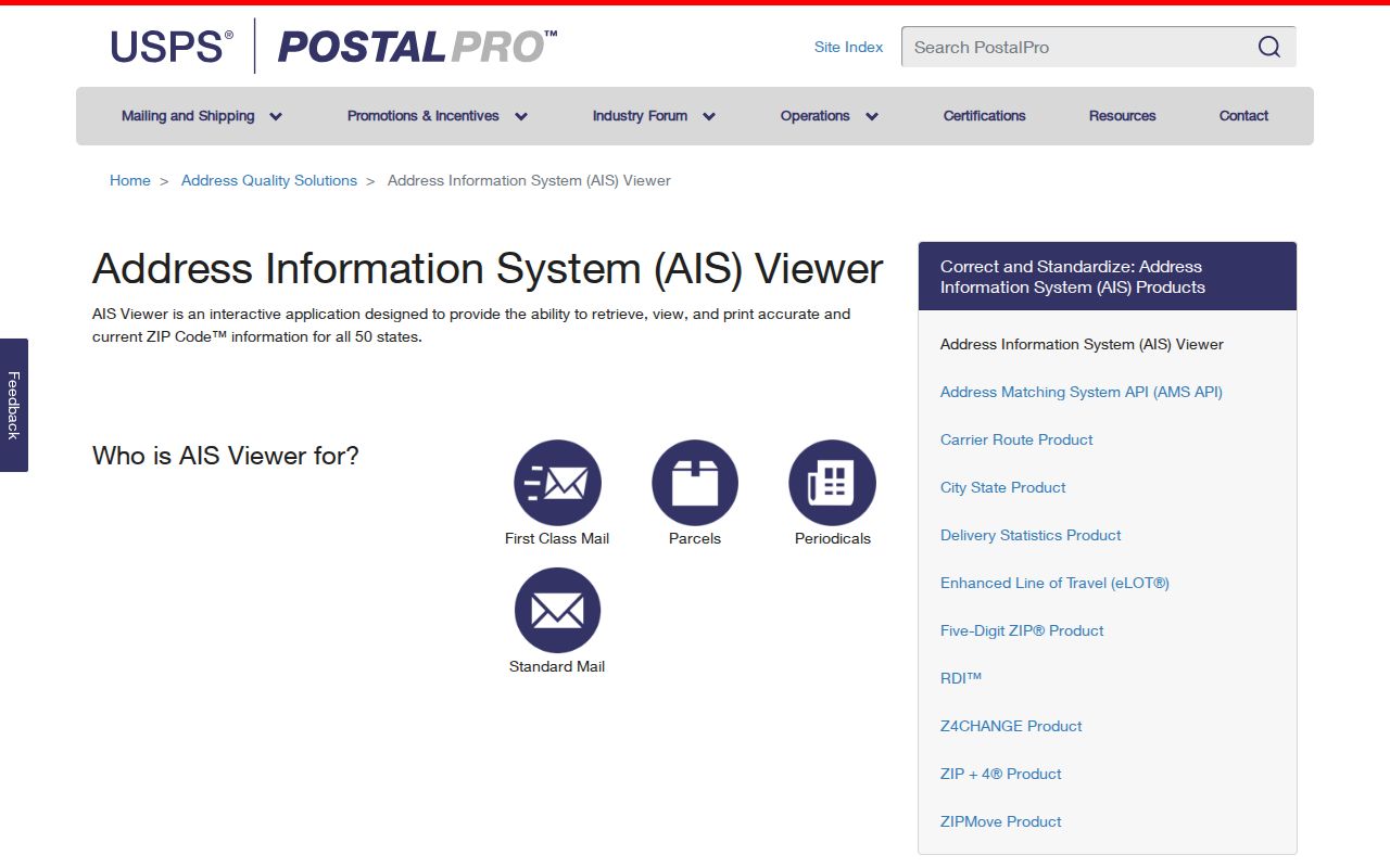
The AIS screen helps interpret five-digit accuracy. It cannot tell who occupies a parcel, belongs to a household, or lives inside Plainfield's corporate line.
Boundary rule. Treat a ZIP as postal geography and a ZCTA as statistical geography; use Town and county maps for jurisdiction.
Find Plainfield Residents Within One ZIP
No inspected local portal offers a verified ZIP-wide resident export. The Treasurer accepts a property address and city, but no visible ZIP field. Beacon's local ZIP-filter behavior was not exposed. Doxpop searches recorded parties and instruments, MyCase searches court cases, and the public voter route is not an open block or ZIP roll. The sound Plainfield ZIP code directory method stays address-first.
- Build a lawful list of exact addresses from an authorized source. Do not scrape an assumed list from a map image.
- Normalize each street, unit, city, state, and ZIP with USPS. Keep the returned mailing form.
- Open Town or county Beacon and match the address to its parcel, State ID, and municipal position.
- Use the relevant subject source, such as the tax list or recorder index, only for the question it answers.
- Record ZIP as a postal field, not as proof that a person now lives at the site.
Once the search is down to a named street, the Plainfield street directory explains the address chain without turning a postal area into a speculative household list.
Plainfield Tax Search Skips ZIP Filters
The Hendricks Treasurer tax list exposes property or parcel number, owner name, property address and city, Tax Year, and navigation controls. Results show district number, parcel number, name, tax year, and property address. The inspected page had no visible ZIP field, so it cannot be presented as a ZIP-wide search.
Recent split or combined parcels may require a last-name search, according to the portal. Too much detail can also restrict results. These traits make the tax list a confirmation step after USPS and Beacon, not the opening move for an entire ZIP code.
Note: A tax-roll owner name identifies the assessed interest and does not, by itself, establish current occupancy.
Plainfield ZIPs Meet Parcel Boundaries
The Town Maps and Plans page links both Town Beacon and Hendricks County Beacon. The Town FAQ says an address or Parcel/Tax ID can be searched, and zoning appears under Layers, Planning, Zoning. If that layer is absent, the property may sit outside Town limits even when its mailing city says Plainfield.
The county's official ArcGIS feature service offers another view of parcel geography.
Open the Hendricks County GIS feature service before reviewing its captured interface below.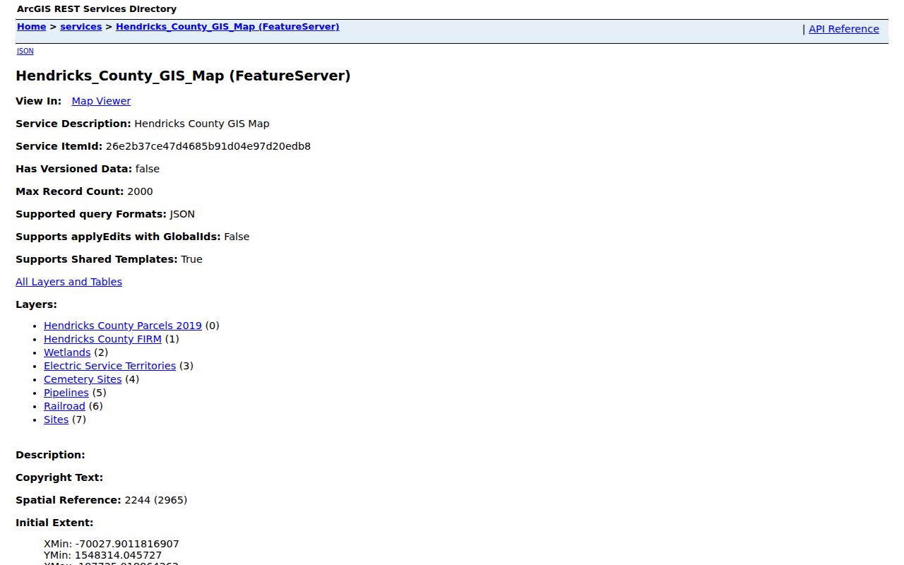
The GIS image ties the postal inquiry to parcel geometry. It still requires the Town planning layer when the question is whether an address lies within Plainfield's municipal jurisdiction.
Plainfield ZIP Directory Terms
Several postal terms sound interchangeable but are not. Keeping them separate prevents false matches when the same place is described by mail, Census, and local government records.
- ZIP code
- A five-digit Postal Service routing label assigned to delivery geography.
- ZIP+4
- A nine-digit form that narrows mail routing beyond the basic five digits.
- ZCTA
- A Census statistical approximation of ZIP geography, not an official delivery boundary.
- PO-box ZIP
- A ZIP used for post-office boxes rather than a general street-delivery area.
- Unique ZIP
- A ZIP assigned to a single high-volume recipient; none was verified for Plainfield.
- Carrier route
- A delivery path used by a postal carrier, not a town or neighborhood line.
The strongest entry in any ZIP code directory is therefore a checked address with clear source labels. A broad ZIP match is only the first geographic screen.
Limits of a Plainfield ZIP Directory
No comprehensive official Plainfield address-point download, public ZIP-wide resident export, or open voter list by ZIP was located. Indiana voter data is governed by the current registration guide and State Form VRG-24, including a use certification and protected-record exclusions. The Indiana APRA overview explains the distinction between open and confidential public records.
A mailing ZIP, parcel owner, voter entry, or registered-agent address does not establish present residence on its own. Good research keeps the source date and purpose beside each result, checks exact addresses, and avoids merging unrelated records into a new resident list.
Use records lawfully. Verify uncertain details with the custodian, respect protected addresses, and never use postal or parcel data to stalk or harass anyone.